Starting Point for the Walk:
At The Scottish Wool Centre – OS Reference NN 522 008. The centre is situated at the east end of the large Car Park in Aberfoyle. There are toilets nearby.
Getting there: 26 miles / 52 minutes
Directions from Cresswell Street, Glasgow.
Take your favourite route out of Glasgow to Strathblane on the A81 (or towards Carbeth on the A809 and turn right onto the B834 and then left to join the A81 towards Aberfoyle).
At the roundabout on the outskirts of Aberfoyle (by the Rob Roy Hotel), turn left onto the A821. After about 1 mile, on the Main Street in Aberfoyle, turn left at the sign “Parking/Scottish Wool Centre”. Almost immediately, turn left into the east section of the large Car Park and aim to use the parking bays close to The Scottish Wool Centre.
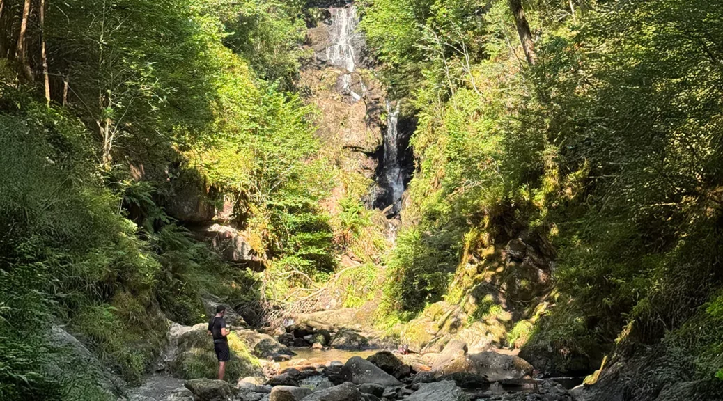
The Walk: Milton Loop (7 miles/11km)
The route starts by leaving the Car Park by the west exit. Turn left into Manse Road and cross the River Forth which leads onto Aberfoyle Old Church and Burial Ground on the left. Ignore the road on the left and continue onwards. Bare right where the road splits ignoring the track on the left signed Downhill Fairy Trail and enter Loch Ard Forest. Continue on and ignore the path on the right. After a further 100m turn right off the Rob Roy Way.
Continue on this track and at the next junction turn left; then right at the next junction. At the cross-roads continue straight on and at the next junction turn left. The track passes Lochan Spling on the left before a short climb along the west side of Creag nam Fairenean. Then gradually descend, via a series of meanders, to cross the Duchray Water. The track then emerges at the Forest Car Park near the hamlet of Milton.
Turn left from the Forest Car Park and head south west passing Dalzell Wood on the right, and intermittently parallel the Duchray Water. Ignore the track going off to the left and continue on the forest track as it gently climbs to Lochan a’ Ghleannain.
Turn right away from the Lochan a’ Ghleannain and descend to the Forest Car Park. Just before the Forest Car Park turn left and head to the hamlet of Milton. At the hamlet of Milton, turn right onto B829 for the final level footpath that leads back to the starting point.


