Starting Point for the Walk:
The Loans Inn, Main Street, Loans near Troon.
Getting there: 34 miles / 43 minutes
Take your favourite route out of Glasgow to the M8 (Greenock) and leave at Junction 22 onto M77 (Kilmarnock). At the Dutch House Roundabout, keep to the righthand lane and take the 3rd exit onto A78 (Irvine). At the Monktonhead Roundabout take the 3rd exit keeping on the A78 (Greenock/Irvine). At the first exit, leave the A78 onto the B746 (Loans). Having entered Loans, go straight ahead at the traffic lights and continue along Main Street. The Loans Inn is on the left. Turn immediately before the Inn to access the parking area behind the Inn. Coffee is available in the Loans Inn before the walk.
The Walk: Loans Circular & Smuggler’s Trail – 6.1 miles (10 km)
From the Loans Inn car park turn left onto the main road, and after a short distance turn left into Seaview Terrace. Leave Seaview Terrace by taking a tarmac footpath between two fields… (two bollards at start of footpath) and enter the Muirhead area. At end of the footpath continue into North Drive. At a footbridge, cross the Darley Burn and follow the path that crosses Troon Darley Golf Course. The footpath enters a wooded area before reaching a tarmac cycle path. Turn left onto cycle path and follow this until reaching the Dundonald Road. Cross the road and turn right onto the pavement and head towards the sea. There is a golf course on the left-hand side. Take the first left into Harling Drive and as the road bends left, pass the clubhouse, and turn right under the railway bridge (at Troon Station) into Victoria Drive and continue until the beach.
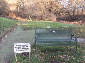
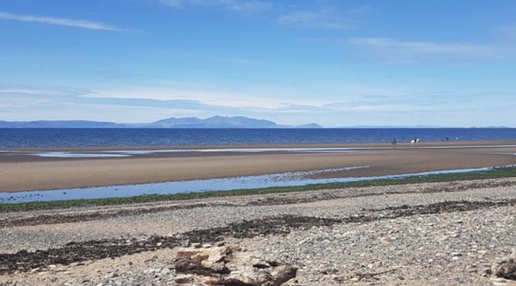
At the promenade, turn left and walk along the beach. Having passed the Royal Troon Golf Club, continue until a waymarked-sign points inland to a path which crosses the golf course. This is the part of the Smuggler’s Trail. Follow this path, which crosses the Troon Old and Troon Portland courses, to reach a pedestrian footbridge across the railway line. Cross the bridge and turn left onto the footpath and after a very short distance turn right onto another footpath. The Troon Lochgreen course is on the left. Continue on the Smuggler’s Trail, crossing Southwood Road, and continue through South Wood. Passing the Lochgreen House Hotel on the left, pass through a gate, before crossing the busy Monktonhill Road (B749). Continue on the Smuggler’s Trail round the right-hand side of the ruined Crosbie Kirk and follow the trail which opens out onto a tarmac road with Marr Rugby Football Club and training fields on the right-hand side. Follow the road and then turn left onto a signed bridle path and continue until it reaches a tarmac path marked by bollards. Turn right and follow a path, alongside a wall with a fence atop, until reaching another set of bollards at a tarmac road. Follow the waymarked Smuggler’s Trail, crossing a footbridge over the Darley Burn to join a narrow footpath with a field on the left. This broadens into a wider path that leads to the B746. Turn left and follow the pavement back to the starting point at the Loans Inn.