Starting Point for the Walk:
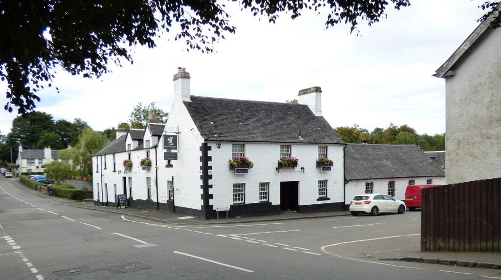
The walk starts from the War Memorial at the bottom end of Main Street in Kippen close to the junction of Main Street, Station Road and Fore Road [OS Reference NS 651 948].
Getting there: 40 miles / 55 minutes
Take your favourite route out of Glasgow to the M8 (Edinburgh) and then take the M80 (Stirling) and then M9 (Dunblane). Leave the M9 at Junction 10, and at the Craigforth Roundabout take 2nd exit onto A84 (Stirling). Near the castle, turn right at King’s Knot Roundabout onto A811 (Erskin Bridge). Continue on the A811 until a roundabout near Kippen. Take the first exit onto B822 (Fintry/Kippen). Street parking is available near the War Memorial.
The Walk: Kippen to Gargunnock (Old Military Road) – 7 miles (11 km) (surfaces: generally good)
Starting at the War Memorial, cross the road into Burnside and follow this road to the outskirts of the village where it becomes a country lane and then a track at the end of which a gate leads into a grassy pasture. The hill to the right, known as Brokencastle, was once the site of an ancient Iron Age fort. Crossing the pasture, head towards a shallow gully and through a metal gate, then round a corner to swing down over Boquhan Bridge. Briefly join a country road, passing an ornate red sandstone building then keep straight on. The path emerges onto open hillside with views dominated by Ben Ledi (880m).
Passing a farm, go straight past a crossroads, passing a Heritage Path sign (Old Military Road). According to local legend, the bridge near here was the scene of a fatal carriage accident. A ghostly coach and horses are reputed to re-enact their final journey here! Go through a gate to follow a woodland track along the side of a fence – then cross over the stone entrance bridge to the Leckie Estate, formerly home to the Younger family of brewing fame. Watson House on the estate was the Youngers’ home until the Second World War when it became a military hospital. Today it has been converted into luxury apartments. Drop down to join the main drive of the house and after a few hundred metres turn off to the right to follow a narrow road (marked ‘No Through Road’) through the trees. Carry on past farm buildings on the right and descend through a pair of iron gates. This road leads onto a road junction which leads into Gargunnock. After a short distance on this road – take a grass path on the left (running parallel to the
road) before some steps lead back onto and across the road. On the right side of the road there is a grass verge which quickly leads into the village of Gargunnock. Walk along the Main Street for a few hundred yards to the village centre, a bridge and a stone memorial drinking fountain. An ideal stopping point for lunch.
Next, turn right over the old bridge (with separate footbridge) and back up the Main Street past the local community shop and notice board. After approximately 300 yards turn left onto Stevenson Street and take the track (right) between the houses at the top end. Cross a road, keeping straight on through a staggered gatepost and walk into the countryside along a tree-lined track known as The Beeches. At the end of the track, keep straight on along a narrow road, passing a sign for Knock O’Ronald. Beyond an old stone bridge over the Leckie Burn, turn right to follow the burn back to the crossroads and the double Gargunnock signpost and retrace the outward route back to Kippen.