
This circular walk of approximately 6 miles starts at the car park next to the new Helensburgh Leisure Centre. The route winds its way up past The Hill House (of Charles Rennie Mackintosh fame) and then along The Upland Way behind Helensburgh coming out at Rhu. After lunch on the shore near the Rosslea Hotel a return along the promenade from Rhu to the starting point.
Starting Point for the Walk:
The car park at Helensburgh Leisure Centre (9 West Clyde Street G84 8SQ) – OS Reference NS 295 821. Parking is free. There are regular train services to Helensburgh Central Station – travel time 65 minutes. There are also regular bus services to Helensburgh. The train station is a few minutes walk from the leisure centre.
Getting there: 24 miles/ 50 minutes
Take your favourite route onto the A82 (Great Western Road). Follow this out towards Loch Lomond and at the Arden Roundabout turn left onto the A818 (Helensburgh). Continue on this road straight into Helensburgh. At the seafront the Leisure Centre should be clearly visible ahead.
The Walk: Helensburgh-Rhu Loop – 7.5 miles (12 km)
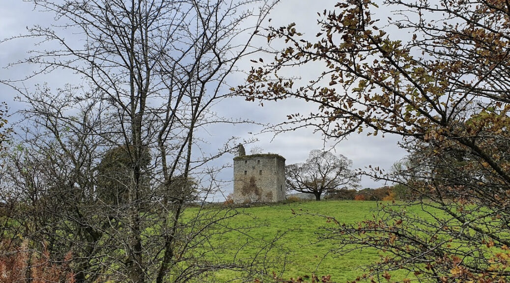
The walk starts from the seafront at Helensburgh next to the Leisure Centre and continues up Sinclair Street. Shortly before the road becomes Luss Road turn left onto Kennedy Drive (signed National Trust for Scotland The Hill House). Continue along this road and turn right into Upper Colquhoun Street and pass Charles Ronnie Mackintosh’s iconic Hill House. Continuing past the entrance to the house, heading further up Upper Colquhoun Street and into a wooded area beside Hill House car park. Cross the car park and follow a sign (Rhu 4km) which takes a route to the left, along a track, into a mix of woodland and open ground. This track, known as the Upland Way, provides good views across to Glen Fruin to the north and Helensburgh to the south, as well as across the Clyde to Greenock and over to the Rosneath Peninsula on the other side of Gare Loch.
After crossing open ground, the route continues through a gate and back into a large, forested area (Highlandman’s Wood). The route follows a semi-circle through the wood eventually emerging onto the old Highlandman’s Road (now a track). Turn right and continue down the track towards Rhu. The track eventually becomes Station Road. Continue down Station Road and at the junction with Pier Road turn right. At the junction with Manse Brae turn left. Continue down Manse Brae until it reaches the seafront next to the Rhu Inn.
At the seafront turn left onto the Gareloch Road (A814) and continue eastwards. This route passes the Rhu Marina; HM Naval Base Clyde; the Ardencaple Hotel; Helensburgh Sailing Club; and the Helensburgh Airfield Memorial. The walk then continues along the promenade and finishes back at the car park at the Leisure Centre.


 Getting there: about 21 miles, 40 minutes.