The walk starts by going into Westerlands Estate by the old cinema at Anniesland and continuing through it until it reaches a small roundabout. Then follow the rough path to the left through a small, wooded area to reach Strathcona Gardens, then turn right onto a small path, then go left at a fork leading to the Forth & Clyde Canal.
Walk along canal passing Lock 27 and continue to Netherton. Cross the canal at the lock and turn right along the north bank of the canal. Go under two railway bridges to reach Islay Avenue then on to Bearsden Road. Turn left and opposite the entry to Garscube Estate take the pathway into Cairnhill Woods. The Woodland trust have been involved with these woods and there are some intriguing wooden sculptures to be seen along the pathways.
Continue through the woods, cross Henderland Road, and continue into the second section of woods, through a loop route and then back to Bearsden Road.
Carefully cross Bearsden Road (dual carriageway) and enter Garscube Estate (Glasgow University Vet School) and
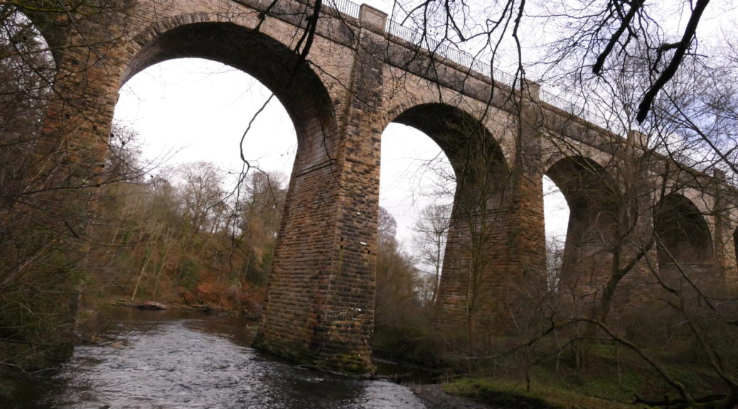
proceed gently downhill until an open area. We may have lunch here. Cross the rustic stone bridge over the River
Kelvin and then follow the bank of the Kelvin and onto a path which leads out onto the Dalsholm Road. Turn right,
then right again and continue onto the (Old) Dalsholm Road. This old road crosses back over the Kelvin and then continues uphill. Before reaching the metalled section of Dalsholm Road, just before the entry to the recycling plant, turn right towards Dawsholm Park.
Cutting across the fields enter Dawsholm Park and proceed up the main avenue. Before reaching the main gate turn back left to follow the edge of the park eastwards. At the end of this peripheral path turn right and proceed downhill to reach Dalsholm Road again. Turn right and continue down the road crossing two railway bridges. At the small roundabout turn right, and after crossing the canal, turn right onto the canal towpath. Continue to the point just beyond the gas-holders and take the left track which continues into Strathcona Gardens. Turn left and cross therailway bridge to the Westerlands Estate. Retrace the outward route to return to the original starting point in Ascot Gate.